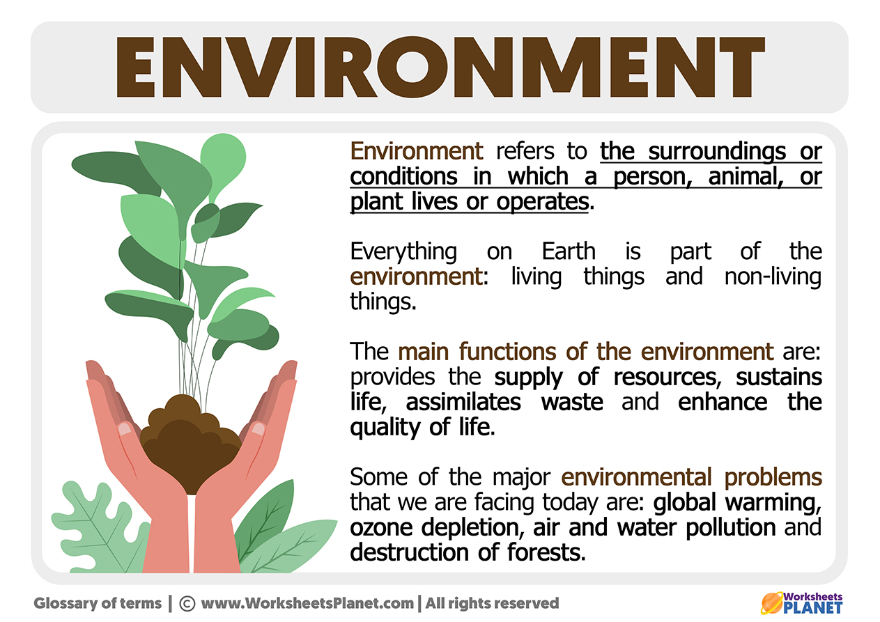
Environmental geography is a branch of geography that seeks to understand the intricate relationships between humans and the natural environment. As a field, it bridges the gap between physical geography, which focuses on natural processes, and human geography, which examines human activities and their spatial patterns. Environmental geography plays a vital role in helping us navigate the complex challenges of sustainability, environmental degradation, and climate change. By examining how humans interact with their environment, it enables policymakers, researchers, and the public to make informed decisions that balance development with environmental preservation.
Understanding the characteristics of environmental geography requires an appreciation of its interdisciplinary nature, as it draws upon various fields such as ecology, sociology, and economics. The study of this discipline not only helps us grasp the natural world’s complexity but also highlights the importance of sustainable development and the conservation of resources for future generations.

The Interactions Between Physical and Human Geography
One of the central features of environmental geography is its focus on the interactions between physical geography and human geography. While physical geography examines natural processes such as weather patterns, land formations, and ecosystems, human geography deals with the distribution and behavior of human populations. Environmental geography integrates these two fields by studying how human activities, such as agriculture, urbanization, and industrialization, impact the environment.
For instance, deforestation in tropical regions—driven by the demand for agricultural land and timber—has led to significant changes in local climates and biodiversity. The loss of forests disrupts the water cycle, contributes to soil erosion, and results in the extinction of species. At the same time, the expansion of urban areas often leads to the destruction of natural habitats, increased pollution, and higher greenhouse gas emissions.
Case Study: Amazon Rainforest Deforestation
- The Amazon Rainforest, often referred to as the “lungs of the planet,” has faced severe deforestation in recent decades due to cattle ranching, logging, and soybean farming.
- Between 2000 and 2010, an estimated 240,000 square kilometers of forest were cleared, leading to biodiversity loss, changes in local climates, and increased carbon dioxide emissions.
- This example underscores the importance of studying the human-environment interactions that shape the world’s ecosystems.
By understanding the connections between human and natural systems, environmental geographers can assess the long-term consequences of human actions and offer solutions that promote both economic development and environmental health.
Spatial Patterns in Environmental Geography
Another key concept in environmental geography is the study of spatial patterns—the ways in which natural resources, ecosystems, and human populations are distributed across geographic space. Spatial analysis helps geographers understand how environmental factors, such as soil fertility or water availability, influence human settlement patterns and economic activities.
For example, regions with abundant natural resources, like fertile land or mineral deposits, often become hubs of human activity. Similarly, the proximity to rivers, lakes, or coastlines has historically determined the locations of cities and trade routes. Environmental geographers use various tools, such as Geographic Information Systems (GIS), to map these patterns and analyze how they affect sustainability and resource use.
Examples of Spatial Patterns in Environmental Geography
| Region | Natural Resource | Human Activity |
|---|---|---|
| Nile River | Water for agriculture | Irrigation farming |
| Western USA | Oil and gas reserves | Energy production, fracking |
| Southeast Asia | Fertile land | Rice cultivation |
| Arctic Circle | Natural gas | Extraction, energy production |
Understanding spatial patterns is critical to managing resources efficiently and ensuring sustainable development. Geographic tools allow researchers to identify regions at risk of environmental degradation, overpopulation, or resource depletion.

